A University of Guelph research team is shedding light on the importance of geospatial systems, which refers to the technology used to acquire, manipulate, and store geographic information, in supporting precision agricultural conservation practices. Led by Dr. Wanhong Yang, a professor in the Department of Geography, Environment and Geomatics, the project represents the first comprehensive review of spatial decision support systems and tools for conservation.
Published recently in the Science of the Total Environment Journal, the study offers valuable insights that could reshape the future of agriculture and environmental conservation.
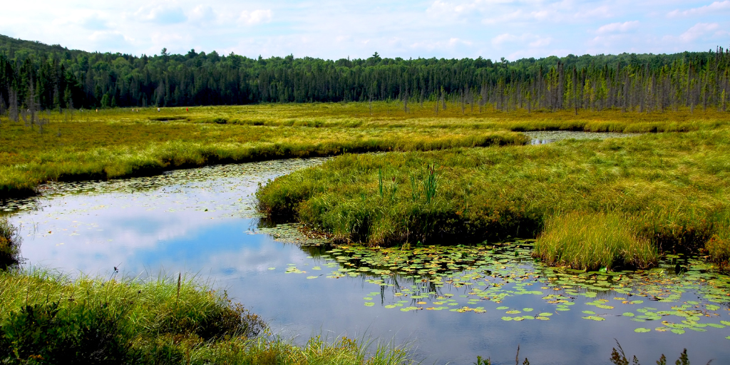
Precision conservation practices involve implementing conservation measures such as conservation tillage, nutrient management, and riparian and wetland restoration in highly environmentally sensitive locations on agricultural landscapes. These practices are crucial for safeguarding the environment while optimizing agricultural operations.
“The need for this research arises from the challenge of identifying environmentally sensitive locations and sources of pollutants, such as sediment and nutrients exported from agricultural landscapes,” said Dr. Yang.
He emphasized that geospatial systems and tools, utilizing high-resolution data, can simulate water and pollutant movements, enabling the identification of environmentally sensitive areas with higher pollutant exports. This information can be used for the precise implementation of conservation practices.
“Farmers often face balancing economic costs with environmental benefits when implementing conservation practices. The economic and environmental tradeoffs of precision conservation practices vary across different locations on agricultural landscapes, making it challenging for farmers to prioritize their efforts effectively,” he said.
Dr. Yang explains that geospatial systems and tools offer a solution by assessing spatial variations of economic costs, environmental benefits, and tradeoffs. By prioritizing locations for implementing precision conservation practices to minimize economic costs and maximize benefits, these tools significantly enhance the efficiency and effectiveness of conservation efforts in agriculture.
The new research introduces innovative frameworks, such as an integrated spatial decision support system for precision conservation that includes:
- High-resolution data inputs,
- Input from conservation stakeholders,
- Landscape modeling,
- Identification of environmentally sensitive locations,
- Assessment of economic costs and environmental benefits,
- Prioritization of locations for cost-effective conservation practices,
- Visualization tools and a knowledge base for decision-making in agricultural conservation.
The impact of this research extends to decision-makers and watershed managers in their efforts to improve conservation in agriculture. According to Dr. Yang, it bridges the gap between researchers and those responsible for implementing conservation strategies.
“By incorporating the needs of decision-makers and watershed managers, it enables the development of geospatial systems and tools tailored to the practical demands of conservation,” he said.
In Dr. Yang’s view, the most significant takeaway from this research is the potential of integrated geospatial systems and tools to guide conservation efforts toward environmentally sensitive locations with lower economic costs. These insights could improve the effectiveness and efficiency of future agricultural conservation endeavours, ensuring a more sustainable and environmentally friendly future for the industry.